Oslofjord Cruises: The Complete Guide
Sightseeing boats work the inner Oslofjord from three quays in front of Oslo City Hall and one more at Langkaia by the Opera House, on trips running from fifty minutes to six hours. The water they cross is a sill fjord in the Oslo Rift, not a glacier-cut western gorge, and the near islands they pass are also served by Ruter’s own B1 boat on an ordinary transport ticket. What you are choosing between is the quay, the boat, whether a person is talking and in which language, and whether you get off anywhere.
The Oslofjord runs about 120 km from Færder up to its innermost arm, reaches 160 m deep in the inner basins, and is held back by a threshold at Drøbaksundet only about 19 m deep. Six sightseeing boats work the top of it, from fifty minutes to six hours, leaving from four quays rather than one. I crossed this water on the B10 from Nesoddtangen to school for eleven years and spent six summers on the ticket booths at Rådhusbrygge, telling people in four languages that no, you cannot see the waterfalls from here.
A sill fjord, and the waterfalls are 300 km away
The image most people arrive with is Geiranger: a mile-deep cut with waterfalls down vertical rock. Geirangerfjord and Nærøyfjord are 300 to 450 km away, on the other side of the country. This is a different landform. It lies in the Oslo Rift, a fault trough of Permian age that the ice reworked rather than carved from nothing; Britannica calls it a glacier-formed depression, or graben, partially filled and partially reexcavated, and Store norske leksikon files it as a terskelfjord. The shallow lip at Drøbak does real work: the basins behind it exchange their water slowly, which is why NIVA has spent decades documenting the renewal cycle in Bunnefjorden. The internet line that the Oslofjord is not a fjord is simply wrong. It is a sill fjord, not a gorge. The distinction, in full.
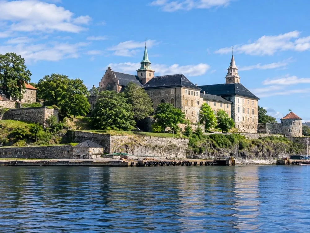
What a boat out of central Oslo shows you instead is a capital’s harbour, and better than that sounds: Akershus Fortress on the headland, the Opera House across Bjørvika, the wooded museum peninsula of Bygdøy, Dyna lighthouse on a bare skerry, then the near islands with their painted cabins. Working traffic runs through it: the Kiel ferry out of Hjortnes, the Copenhagen ship off Vippetangen, container cranes at Sjursøya. Landmark by landmark.
Six listings, four quays, fewer companies than it looks
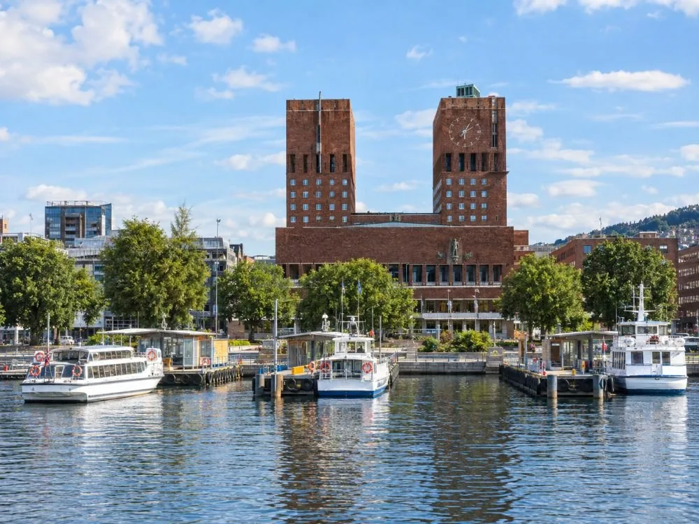
Sorted by operator, the catalogue looks like a market. It is not. Rådhusbrygge 2, 3 and 4 stand in a row in front of the City Hall, a minute apart, and most of this fleet ties up along them. The two-hour wooden sailing ship and the fifty-minute wooden loop both go from Rådhusbrygge 3, same operator, same hulls; the two-hour one has blankets and a bar, and does not guarantee you a seat — boarding is open, so arrive early. The fifty-minute loop is a taster and says so. Rådhusbrygge 4, the island boats’ quay, sends out two more: the lowest-rated boat here, and the only one that lands. Rådhusbrygge 2 sends out the silent hybrid-electric boat, and it is the only city cruise here with a live guide, in English only, at 4.7 from about 2,079 reviews.
Then the one that catches people. The most-reviewed cruise in Oslo, 4.5 from about 6,690 reviews, does not leave from the City Hall quays at all. It leaves from Langkaia, by the Opera House and Central Station, about a kilometre east, a quarter of an hour on foot. Every summer I sent people running for it. So the variables are the quay, the hull, the clock, who is talking and in which language, and whether you get off anywhere — and only the six-hour trip does that last one, landing on five islands and walking them, which is why it is not wheelchair accessible, involves walking and climbing, and takes under-15s only with an adult. Its 4.5 rests on about 158 reviews. Every pier, and the six side by side.
One more, said plainly rather than buried: the two-hour electric boat from Rådhusbrygge 4 is the lowest-rated of the six, 4.4 from about 2,396 reviews. Across that many passengers 4.4 is an ordinary number for a high-volume operation, not a warning, and that boat is the only one here with a lift on board. If somebody in your party needs step-free access between decks, the weakest score is the right answer. What each listing states.
Part of it is already on your transit ticket
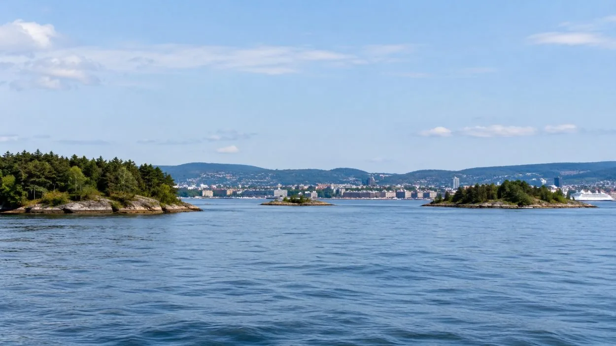
Rådhusbrygge 4 has been the island boats’ quay since long before any of this was sold as sightseeing. Ruter’s line B1 “Øyene” runs from there to Hovedøya, Lindøya, Gressholmen, Bleikøya and Nakholmen; line B2 adds Langøyene in summer. Ruter’s own words are that you reach the islands on en helt vanlig Ruter-billett, a perfectly ordinary Ruter ticket. B10 crosses to Nesoddtangen in about 23 minutes. B21 and B22 reach Drøbak, weekends in spring and autumn, daily through summer. If what you want is to be on the fjord rather than to be told about it, the public boat does that on the ticket already in your pocket, and this page earns nothing by telling you.
What a cruise gives you that the ferry does not is a route chosen for what you can see rather than for who needs to get home, a commentary, a heated saloon with a bar, and a guaranteed return to the quay you left from. Nobody on it is carrying shopping. The comparison in full.
The water you are looking at is in trouble
Cod fishing has been banned in the Oslofjord since 2019, indefinitely since January 2023 — commercial and recreational alike, catch-and-release required, from Vestfold and Telemark to the Swedish border. From October 2025 recreational fishing was cut back to hand-held gear and shrimp traps banned outright. From January 2026 there are three nullfiskeområder where no fishing happens at all. Havforskningsinstituttet describes the cod stock as in decline and at a historically low level, and reports basins where the oxygen in the bottom water falls so far that everything living in it dies. You will not see that from a saloon window. It is under the hull the whole way. The fjord’s health.
Ready to book?
Live availability for the most-reviewed cruise on the fjord is below. It is the one that leaves from Langkaia, not the City Hall quays — check the quay before you walk anywhere. If you would rather weigh all six side by side first, the comparison table lists the quay for each, and the ferry page covers the trips you do not need to book at all.
Frequently asked questions
Is the Oslofjord a real fjord?
Yes, but not the kind in the photographs. It is a sill fjord lying in the Oslo Rift, a fault depression that glaciers later reworked rather than carved from nothing, with a threshold only about nineteen metres deep at Drøbak holding back water up to a hundred and sixty metres deep behind it. The steep western fjords are three to four hundred kilometres away. The full answer.
Which quay does my boat leave from?
Five of the six leave from the Rådhusbrygge quays in front of the City Hall — piers 2, 3 and 4, within a couple of minutes of each other. The most-reviewed cruise on the fjord does not: it leaves from Langkaia by the Opera House, about a quarter of an hour east on foot. Every quay, and how to reach it.
Can I get onto the fjord without booking a tour?
Yes. Ruter’s B1 "Øyene" boat leaves Rådhusbrygge 4 for Hovedøya, Lindøya, Gressholmen, Bleikøya and Nakholmen on an ordinary Ruter ticket, and B2 adds Langøyene in summer. It is public transport, not a tour, so nobody explains anything — but it is the same water. Ferry or sightseeing boat.